





Filling Before Advancing: Capability-Gap-Driven Post-Training for Scenario-Specialized Remote Sensing MLLMs
Paper • 2607.22205 • Published
The dataset is currently empty. Upload or create new data files. Then, you will be able to explore them in the Dataset Viewer.
CPRS is the data behind FBA. It brings together remote sensing image–caption pairs and instruction dialogues for coastal harbor understanding.
This page is a preview with examples to explore. The full data and preparation notes will follow after paper acceptance.
先放一些样例,方便大家看看。论文录用后,会陆续补上完整数据和整理方法。
About 810K supervision records, organized in three layers:
| Layer | Records | Focus |
|---|---|---|
| RS-Anchor | 569,853 image-caption pairs | Overhead imagery and remote sensing language |
| Bridging-Conv | 187,296 SFT records | Related scenes across RGB, SAR, PAN, and NIR |
| Scenario-EG | 53,000 SFT records | Harbor questions, spatial reasoning, localization, and reports |
We’ve picked eight scenes, two per sensor, for the interactive gallery. Pick an image, switch between questions, and explore the visual clues behind each answer.
| RGB | SAR |
|---|---|
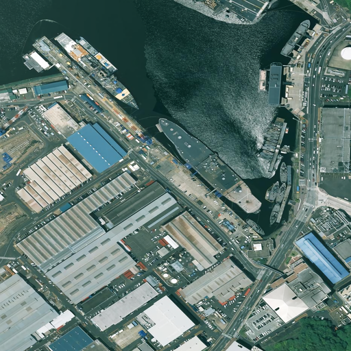 |
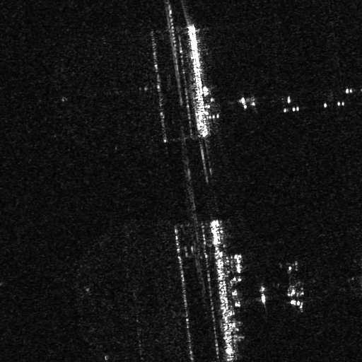 |
| PAN | NIR |
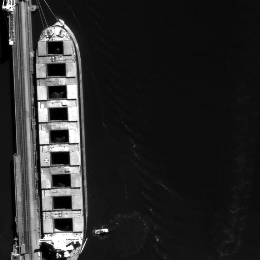 |
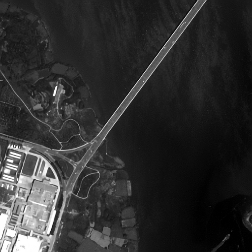 |
You can find the images in the GitHub examples, or visit HarborEval for evaluation examples.
@article{zong2026fba,
  title   = {Filling Before Advancing: Capability-Gap-Driven Post-Training for Scenario-Specialized Remote Sensing MLLMs},
  author  = {Zong, Yuheng and Wang, Minghua and Zhao, Xin and Zhan, Zhi-Hui and Plaza, Antonio and Benediktsson, Jon Atli},
  journal = {arXiv preprint arXiv:2607.22205},
  year    = {2026},
  doi     = {10.48550/arXiv.2607.22205},
  url     = {https://arxiv.org/abs/2607.22205}
}